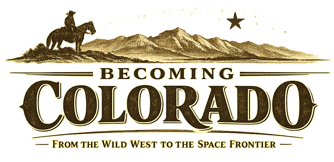
Colorado did not begin as an empty interior waiting for prospectors to arrive.
It began, if one insists on the right beginning, as movement.
People were already crossing, trading, raiding, hunting, negotiating, marrying, translating, and surviving here long before anyone imagined the clean geometry of a future American state. The land that would later become Colorado was not a blank. It was a borderland — not in the narrow sense of a line on a map, but in the deeper western sense of a region where worlds met, overlapped, argued, and borrowed from one another. Mountains divided and connected. Rivers served as pathways and borders. Trails appeared not because someone planned a state, but because people needed to move through country that already had memory.
Colorado’s first history is not the history of a state. It is the history of passage.
That is why the trails matter so much. Trails are not only lines across land. They are records of what kinds of life a region once allowed. If you want to understand Colorado before the gold rush and before statehood, you look first not at capitol buildings or mining camps, but at routes: the Arkansas corridor, the Santa Fe Trail, the Old Spanish Trail, the older Indigenous paths beneath and around them, and the trading posts that turned movement into encounter.
The land before the line
One of the mistakes later histories make is to describe Colorado backward, as if its modern borders tell the most important truth about its past. They do not. The mountains, plains, and river valleys that now sit inside Colorado once belonged to overlapping Indigenous homelands and moving worlds. Ute, Cheyenne, Arapaho, Comanche, Apache, and other peoples traversed and contested this country in ways that predated U.S. political structure by generations. The paths they used, the waters they followed, the mountain passages they knew, and the trade relationships they maintained all formed the earlier infrastructure of the land.
Later Spanish, Mexican, and American routes did not emerge in a vacuum. They were layered onto country already understood. A trail is often presented as invention when it is really adaptation. New traders may have renamed a route, widened it, or fixed it more firmly in written records, but the deeper geography was older than the paperwork.
Every “new” trail in the borderlands had an older intelligence under it.
The Arkansas River and the Santa Fe world
If one corridor best explains Colorado as borderland, it may be the Arkansas River. In the 1840s, as the National Park Service notes at Bent’s Old Fort, the Arkansas functioned as a border between territory claimed by the United States and Mexico. That alone gives the river extraordinary historical weight. It was not only a physical feature. It was a political and commercial threshold.
The Santa Fe Trail moved through this world as one of the great trade routes of North America. It connected Missouri to Santa Fe and carried freight, merchants, soldiers, migrants, ideas, languages, and expectations across the plains. Colorado’s southeastern country was one of the places where that larger trail system became locally real. It was a zone where the United States met Mexican commerce and where Indigenous nations were not passive scenery, but powerful participants in the terms of travel.
Bent’s Old Fort, on the Arkansas, is one of the best surviving places to understand this. The National Park Service describes it as a trading post on the Santa Fe Trail where traders, trappers, travelers, and the Cheyenne and Arapaho came together in peaceful terms for trade. That phrase is worth lingering over. This was not merely a military frontier. It was a crossroads of commerce, language, and negotiated coexistence.
Bent’s Fort matters because it shows Colorado not as edge, but as meeting place.
Spanish, Mexican, and multilingual Colorado
Colorado’s borderlands past also reminds us that Spanish belongs to the region early and naturally. Fifty percent of the traders along the Santa Fe Trail were citizens of Mexico, and the National Park Service’s educational materials on Bent’s Fort note that Spanish was the main language of trade there. Mexican traders and workers moved through the fort and the wider route system not as exotic visitors, but as central participants in the economy.
This is one of the strongest correctives to later Anglo-only frontier myth. Colorado before statehood was not linguistically simple. It was multilingual. Spanish, English, French, and Indigenous languages all mattered. Architecture mattered too. Bent’s Fort used adobe construction familiar in New Mexican building traditions, which would have communicated familiarity and trust to Mexican traders. Even a wall could be part of the borderlands conversation.
History Colorado’s Latino history materials rightly place Colorado within a longer Spanish and Mexican historical frame, stretching back centuries before U.S. statehood. That broader frame matters because it keeps Colorado from seeming as though it only came into being when Americans rushing for gold decided to notice it.
Colorado did not wait for Americans to arrive in order to enter history. It had already been spoken, traded, crossed, and named in other languages.
The Old Spanish Trail and the western slope
If the Santa Fe Trail helps explain southern Colorado as a commercial borderland, the Old Spanish Trail helps explain the western slope as part of an even broader transregional world. The National Park Service describes the Old Spanish Trail as a network of routes between Santa Fe and Los Angeles, used by mule pack trains to move New Mexican goods westward in exchange for horses and mules. Colorado was not the center of the trail system, but part of it — especially through the routes that crossed southwestern and western Colorado.
NPS materials note that Colorado contains three different trail systems associated with the Old Spanish Trail network, including the North Branch first used in 1831, which traveled from New Mexico through places that now include Great Sand Dunes country, Saguache, Cimarron, Montrose, the Uncompahgre, the Gunnison, and then toward Grand Junction and Utah. That fact alone opens the mind. Colorado before the gold rush was already part of a corridor stretching between Santa Fe and California.
This is one of the most important things to understand about the pre-state region. Colorado was not only a vertical mountain world. It was part of long horizontal systems of movement connecting plains, pueblos, river valleys, deserts, and Pacific-facing trade. The later state would inherit all of these paths, even as it pretended sometimes that its real story began only with mining.
The trails through Colorado matter because they reveal that the region always belonged to more than one direction of history.
Why this older world matters
The gold rush of 1858–59 would later change everything. It would flood the Front Range with population, push the region toward territorial status, and eventually lead to statehood in 1876. But the rush did not invent Colorado’s significance. It redirected it. The routes were already there. The land was already understood. The borderlands were already alive with commerce, conflict, adaptation, and multilingual exchange.
That is why borderlands and trails belong at the beginning of Colorado history. They teach us that the state’s origin is not singular. There is no one pure starting point. Instead, there are layers: Indigenous movement, Spanish and Mexican presence, trade roads, border rivers, forts, crossings, passes, and only later the gold camps and constitutions. Colorado became a state much later. It became a crossroads much earlier.
Before Colorado had a legislature, it had routes. Before it had borders, it had crossings.
That may be the best way to understand the land in its first historical shape. Not as an empty center, but as a worked-over middle. A place where people kept arriving because other people had already learned how to pass through.